Analytical material
How a long-distance walking trail became a project connecting nature, historic heritage and hundreds of local communities across the country
At a glance
The initiative began in 2018 as a community project of the Tășuleasa Social association, and the main route from Putna to Drobeta-Turnu Severin officially opened in 2022
Today, the organisers distinguish between the main axis of around 1,400 kilometres and an extended network of approximately 1,600 kilometres, which has included the new Terra Borza Teutonica region since 2025 [2]
The route matters for more than its scale: it connects natural areas, rural settlements, monuments and cultural landscapes, while its andesite kilometre markers were created as individual artworks
In 2023, Via Transilvanica received a European Heritage Award / Europa Nostra Award and the Public Choice Award, and in 2024 it joined TIME’s World’s Greatest Places list [3]
Academic research already examines the trail as a potential tool for sustainable rural tourism, but the available evidence is still insufficient to establish its long-term economic impact across all the settlements along the route [4]
Via Transilvanica has emerged as one of the most significant initiatives in contemporary Romanian tourism: a long-distance route linking the north-east of the country with the Danube, passing through villages, historic towns, mountain areas and landscapes where cultural heritage is embedded in everyday life
The main line, Via Transilvanica maior, connects Putna in Bucovina with Drobeta-Turnu Severin in the south-west and extends for around 1,400 kilometres
Following the expansion that began in 2025, the organisers now describe a network of approximately 1,600 kilometres
For travellers, the route is more than a long trail: it offers a way to discover Romania slowly, on foot, by bicycle or on horseback, moving from one historical and cultural region to another [5]
A road through Romania’s historical regions
The idea originated in 2018 with the Romanian non-governmental organisation Tășuleasa Social
Conceived in the centenary year of Romania’s Great Union, the phrase “the path that unites” immediately acquired a civic meaning alongside its tourism appeal
The organisers wanted a national route that would physically connect different regions while introducing travellers to the country’s linguistic, ethnic, religious and everyday diversity
Construction and waymarking proceeded in stages, and the trail officially opened on 8 October 2022 in Alba Iulia
According to European Heritage Awards / Europa Nostra, local communities and more than 10,000 volunteers helped create the route [6]
The concept drew inspiration from well-known long-distance routes, particularly the Camino de Santiago and the Appalachian Trail, but Via Transilvanica is not a replica of a pilgrimage route
Its organisers emphasise cultural landscapes and the relationship between travellers and residents of small towns and villages
The main trail crosses ten Romanian counties and originally comprised seven historical and cultural regions: Bucovina, Highlands, Terra Siculorum, Terra Saxonum, Terra Dacica, Terra Banatica and Terra Romana
In 2025, the first major extension, Terra Borza Teutonica in Brașov County, was added, after which the official website began presenting eight regions and a network of around 1,600 kilometres [7]
The different distance figures need some explanation
Europa Nostra’s 2023 materials describe Via Transilvanica as a route of more than 1,400 kilometres
The current regions page on the official website retains approximately 1,400 kilometres for the main Putna–Drobeta-Turnu Severin axis and around 1,600 kilometres for the whole network after the new branches were added
Meanwhile, the project’s own history page now uses the figure of 1,600 kilometres when describing the trail’s opening in 2022, which differs from Europa Nostra’s contemporary account [8]
The trail’s distinctive character becomes visible at every kilometre
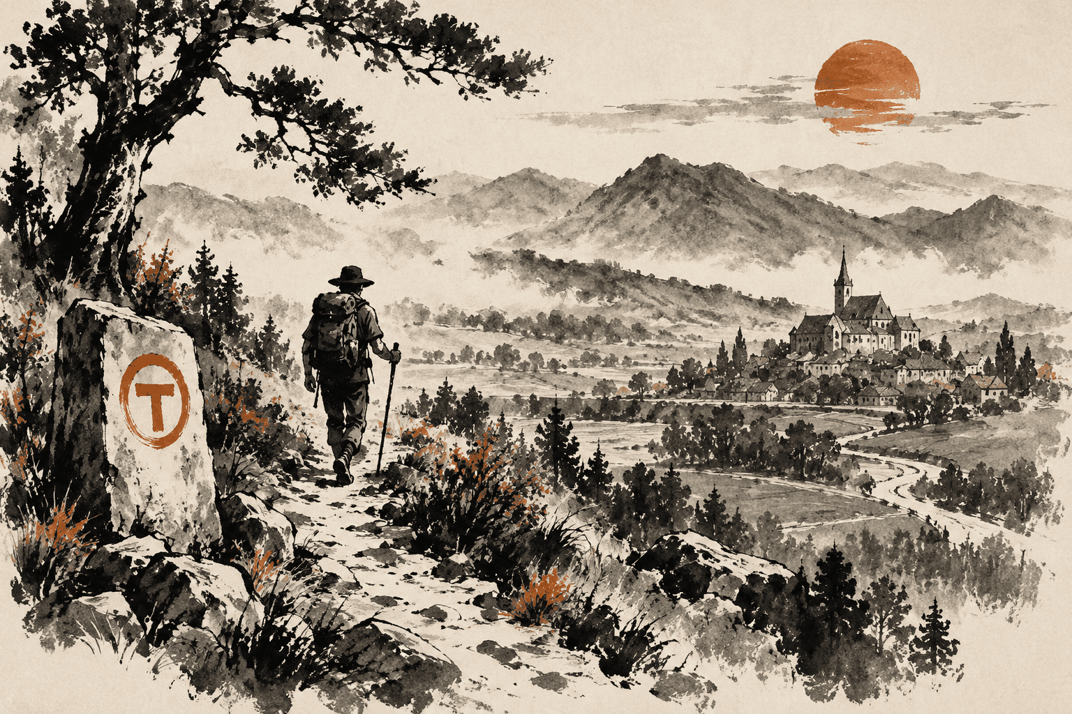
Instead of conventional trail posts, Tășuleasa Social uses andesite markers designed as individual works of art
Romanian and international sculptors worked on them, while signposts and frequent painted markings guide travellers between the stone markers
The organisers describe the entire system as one of the largest open-air sculpture exhibitions
That description belongs to the project itself, but Europa Nostra also recognises the unusual concept, highlighting the individually designed andesite markers as one of Via Transilvanica’s defining features [9]
This system makes the infrastructure itself part of the cultural experience
Travellers receive both directions and a constant reminder that the route was created as a civic and artistic project
In conventional tourism, people often arrive at a particular attraction; here, value also comes from the spaces between attractions: forest tracks, pastures, small settlements, local homes and transitions between cultural regions
This approach directly reflects the stated mission, which links tourism development with the preservation of rural heritage and the participation of local communities [10]
This cultural richness distinguishes the project from routes primarily focused on the sporting achievement of covering a distance
In the north, travellers cross Bucovina, known for its historic monasteries; the trail then enters Transylvania’s world of Saxon and Szekler settlements, medieval towns and fortified churches before approaching the Dacian heritage of the Orăștie Mountains and gradually continuing towards Banat and the Danube
UNESCO describes the villages with fortified churches in southern Transylvania as a cultural landscape preserving characteristic settlement patterns and agricultural organisation dating from the late Middle Ages
Six Dacian fortresses in the Orăștie Mountains, including Sarmizegetusa, form a separate World Heritage property [11]
Europa Nostra’s materials state that the route showcases 12 UNESCO World Heritage sites
Other sources give lower figures
The counting method matters here: UNESCO groups several physically separate monuments into a single serial World Heritage property
For example, seven Transylvanian villages with fortified churches constitute one entry on the UNESCO List, although Biertan, Viscri, Saschiz and the other components are geographically separate; similarly, six Dacian fortresses form one property
Different authors may therefore count either official List entries or individual components
This explanation is an inference from the structure of UNESCO’s catalogue, rather than an official explanation of the discrepancy by Via Transilvanica [12]
For travellers, something else matters more than the number itself: Via Transilvanica connects cultural monuments through a living landscape
Between famous sites lie small villages, farms, guesthouses and places that rarely feature as destinations in mass tourism itineraries
This interaction between monuments, landscape and everyday life helps explain why Europa Nostra recognised the project in the Citizens’ Engagement and Awareness-raising category, rather than for the restoration of an individual building [13]
Tourism, communities and a growing network
International recognition arrived quickly
In 2023, the project received a European Heritage Award / Europa Nostra Award in the Citizens’ Engagement and Awareness-raising category, followed by the Public Choice Award in September of the same year
Europa Nostra associated the trail’s importance with its combination of natural, architectural, intangible and gastronomic heritage and the involvement of local communities
In 2024, TIME included Via Transilvanica in its World’s Greatest Places selection, presenting it as an opportunity for slow travel through rural Romania, from Bucovina to the Danube [14]
International attention matters for more than Romania’s tourism image
The project demonstrates a model in which cultural heritage is promoted through a territory encompassing hundreds of settlements, rather than through a single famous castle or monastery
The current official website refers to approximately 400 communities connected by the trail
Its organisers define the route primarily as a social project intended to make rural communities more accessible to travellers while encouraging responsible local tourism development [15]
This social approach is especially evident in accommodation and food
The route is designed so that travellers regularly enter settlements and use existing infrastructure
The official guide provides information about accommodation, elevation changes, estimated stage times, attractions and route characteristics
A study presented at the BASIQ 2024 conference by Yasmina-Maria Tobă of the Bucharest University of Economic Studies examined a sample of settlements along the route and official accommodation data for 2019–2023
It found relative stability in traditional hotels and guesthouses alongside the emergence of more diverse accommodation types, including agritourism options [16]
According to Tășuleasa Social itself, more than 60,000 travellers from 36 countries visited sections of the route in 2024 alone
Because this figure was published by the organisation that created and manages the trail, it is best described as organiser-reported data, rather than an independently verified government estimate
Nevertheless, it is consistent with the project’s visible international profile and increased media coverage following its European awards [18]
The 2025 expansion shows that Via Transilvanica is evolving from a completed linear project into a network
The first new region was Terra Borza Teutonica in Brașov County
Its official description takes travellers through areas with Saxon and Hungarian heritage, Viscri, the surroundings of Bran, Râșnov and Brașov
The current regional page lists 187 kilometres and eight stages, whereas Tășuleasa Social’s launch announcements referred to approximately 170 new kilometres
Early expansion figures should therefore not be relied on for practical planning: current route information, maps and GPX files are more useful [21]
The organisation has already outlined a twenty-year development plan envisaging the trail’s expansion into other historical regions of Romania
If implemented, this strategy would change Via Transilvanica’s significance: it would become national-scale slow tourism infrastructure, extending beyond the specific trail between Putna and the Danube
The project itself links travellers’ presence with the revitalisation of local communities, but further growth will also require more systematic research into its effects on natural areas, housing markets, local economies and heritage conservation [22]
Conclusion
The route is compelling precisely because it resists a single definition
It is infrastructure, a civic project, an artistic trail and an attempt to offer a new way of encountering Romanian heritage
The main route makes it possible to walk diagonally across a substantial part of the country and observe successive changes in natural landscapes, architecture, local traditions and cultural surroundings
International awards demonstrate recognition of the idea, while its long-term social and economic impact still requires systematic research [23]
For travellers, the practical message remains simple: there is no need to walk fifteen hundred kilometres to understand the project
A few carefully chosen stages can reveal a Romania that is much harder to notice from a car, while the official guide, map and app help build an itinerary around available time and fitness
This combination of a major national idea with the possibility of walking for just a few days explains how Via Transilvanica works both as an international tourism brand and as a local road between small Romanian communities [24]
References
- European Heritage Awards / Europa Nostra Awards. (2023, June 13). Via Transilvanica
- Gabet, D. (2025, April 15). A muddy ride into Romania’s dreamy countryside: Cycling the Via Transilvanica. The Guardian
- Suma, M. (2024, July 25). Via Transilvanica. TIME: World’s Greatest Places 2024
- Tășuleasa Social Association. (n.d.). Via Transilvanica: The path that unites
- Tășuleasa Social Association. (n.d.). Via Transilvanica regions
- Tobă, Y.-M. (2024). Preserving heritage, promoting sustainability: Rural tourism in Romania through Via Transilvanica. In BASIQ 2024 International Conference on New Trends in Sustainable Business and Consumption (pp. 642–648). Editura ASE
- UNESCO World Heritage Centre. (n.d.). Dacian Fortresses of the Orastie Mountains
- UNESCO World Heritage Centre. (n.d.). Villages with Fortified Churches in Transylvania